Falls of the Ohio
March 31, 2012
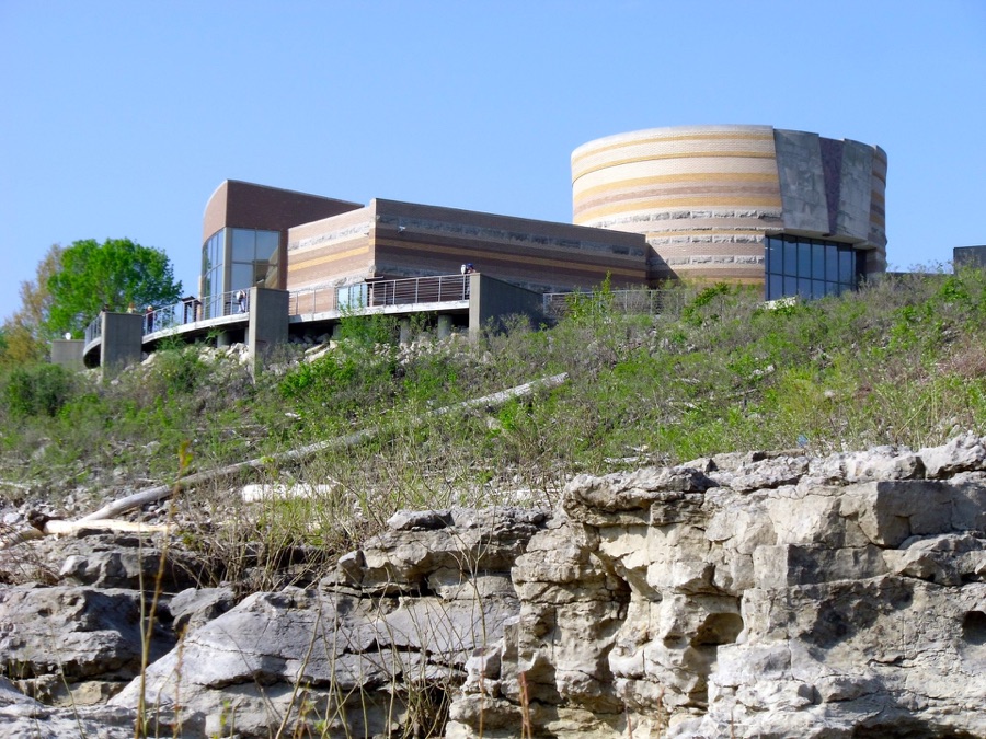
The dramatic facade of the Falls of the Ohio Interpretive Center sits on the limestone bluff above the river on the Indiana shore across from west Louisville. The layered stonework echos the sedimentary strata of the region. I took the Second Street bridge across the river on a Saturday when traffic was light. At the end of the Second Street Bridge take three right turns and follow the road west looking for the signs to the park.
The Falls Center is an Indiana State Park, and a good discussion of many features is on the official website:
<http://www.fallsoftheohio.org/>
The site has three principal points of interest highlighted by the exhibits and installations.
First, the Falls is caused by a bed of 300 million year old limestone that contains the fossilized remains of interesting life forms from the Devonian Period.
Second, the geology influenced settlement patterns in the region. The interruption in easy river travel caused by the drop over the falls, led to the necessity to carry boats around or portage around the hazardous feature.
This led to the establishment of a ‘river city’ along the portage in the early 1700s that started out with log cabin grog shops that offered highly prized comforts of the day, river wenches, steaming turtle stew, and bourbon and grog of varying quality.
Third, Louisville’s regional importance gave rise to a fascinating history. Louisville became a trans-shipment point for sugar cane and tobacco coming up the river from New Orleans even before the advent of the steam boat, while New Orleans was still under Spanish and French rule. Before steam power on the river, slaves and river boat men poled or towed flatboat cargo up river, fixing lines to shoreline trees and hauling against the current. As western Europeans exterminated and displaced the indigenous inhabitants, colorful characters crossed through or shoved off from Louisville.
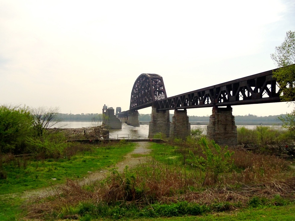
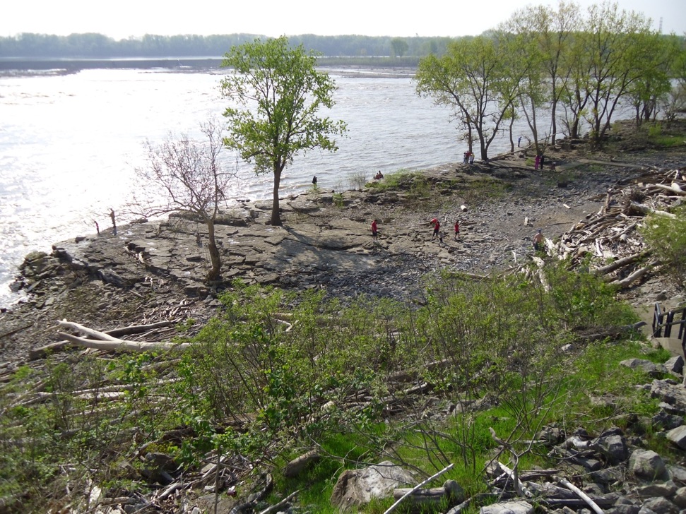
The view from the bluff above gives an indication of the Devonian limestone outcropping, though on this day, the river level was up over a lot of the rock.
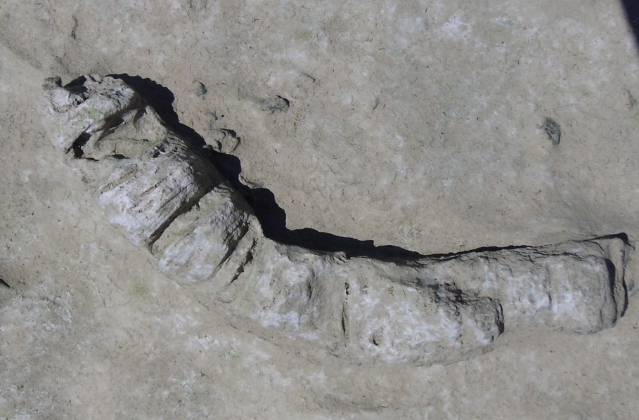
Even a cursory hike picking among the rocks close to shore yields up some surrealistic forms of ancient plants and animals.
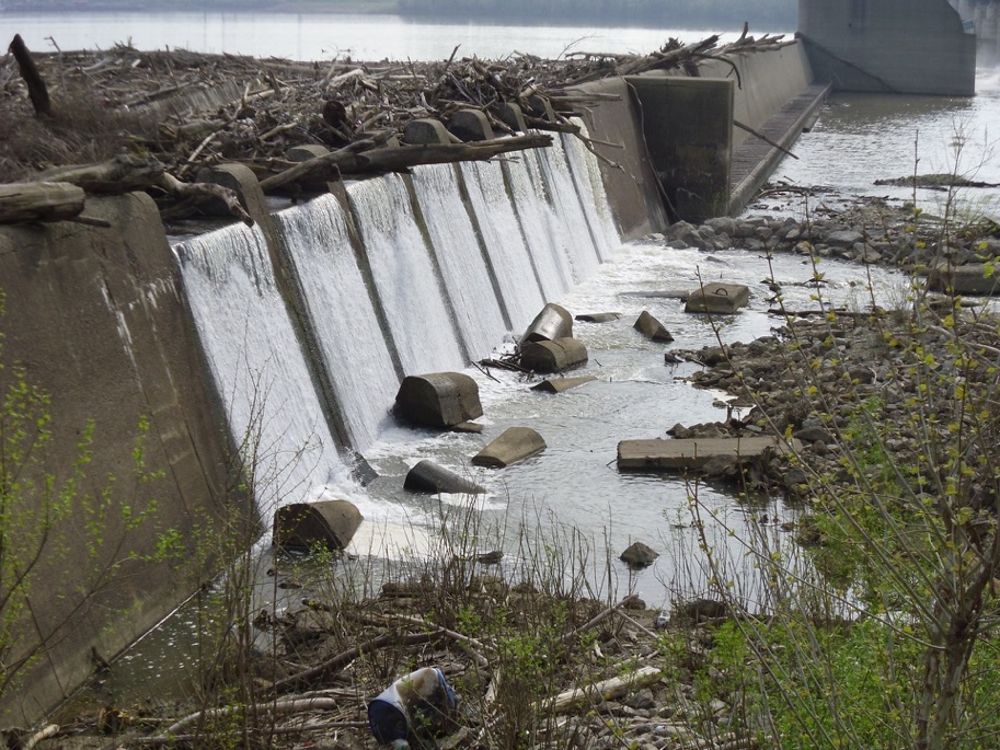
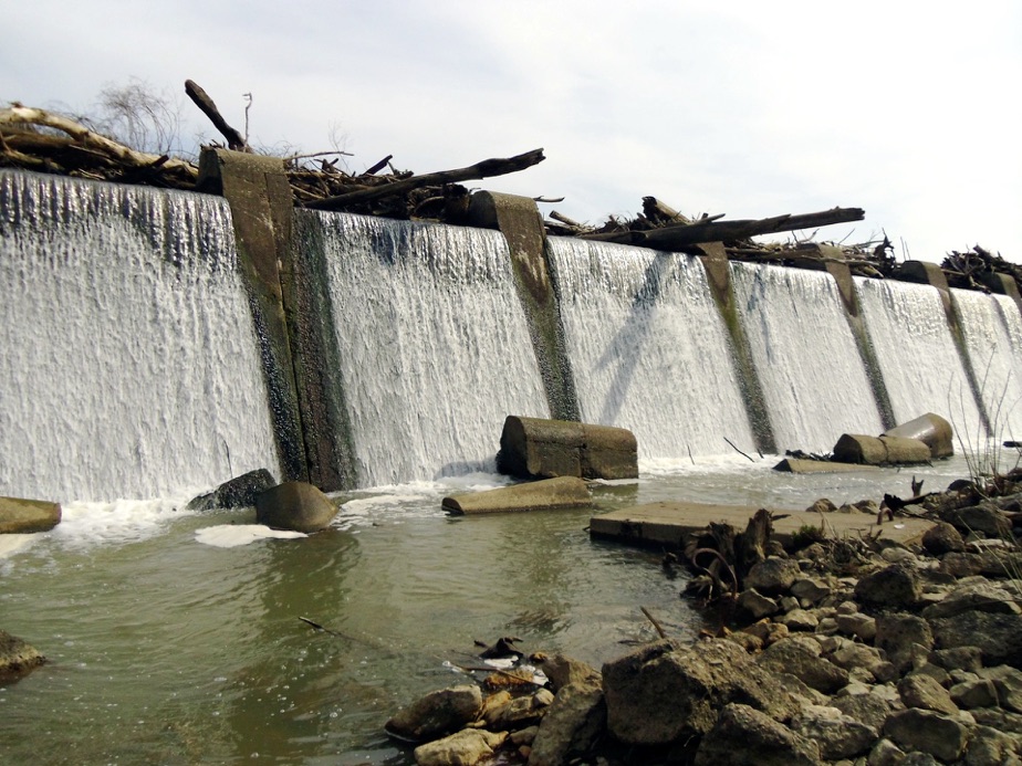
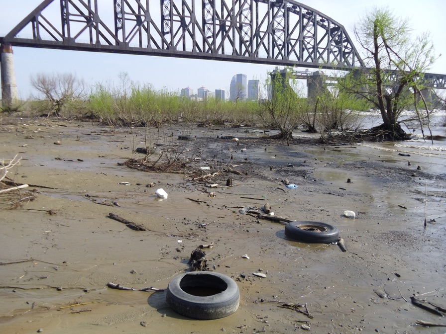
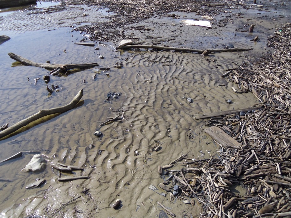
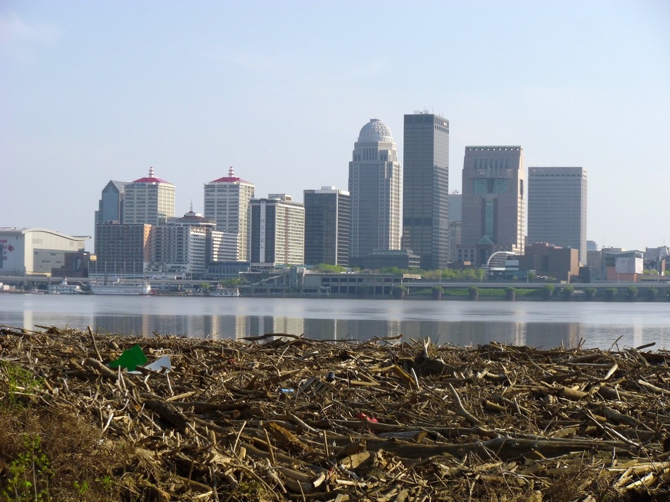
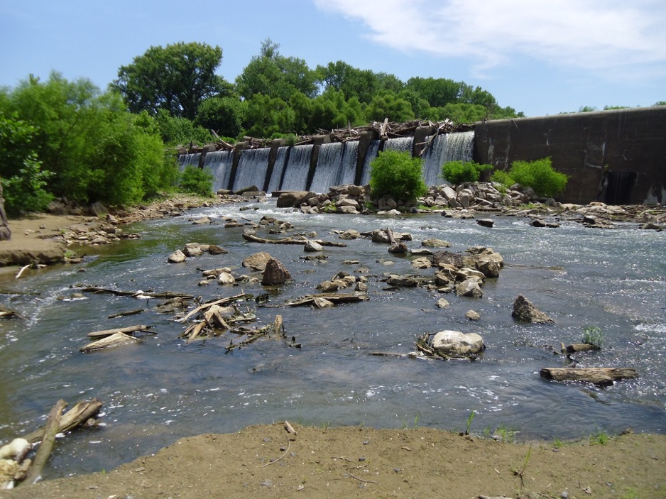
Further east at the dam, the evidence of high water is clear in the enormous piles of wooden debris, driftwood, plastic barrels, floating litter and dozens if not hundreds of tires: inner tubes, torn tires, tires on old rusting rims, new looking tires on shiny rims, truck tires, automobile tires, small lawn equipment tires, balls, footballs, basketballs, tennis balls, styrofoam shapes, floats, cups, endless plastic drink bottles.
The Devonian Period left the fossilized shapes of a teaming aquatic community indicating a rich and diverse culture in the ancient ocean shallows. Three hundred million years from today, future hikers will find fossilized steel belted radials.
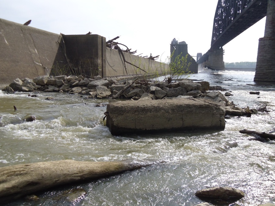
The dam spillway seems to have suffered some collapse and a tumble of concrete blocks appears to have come from the lip above.
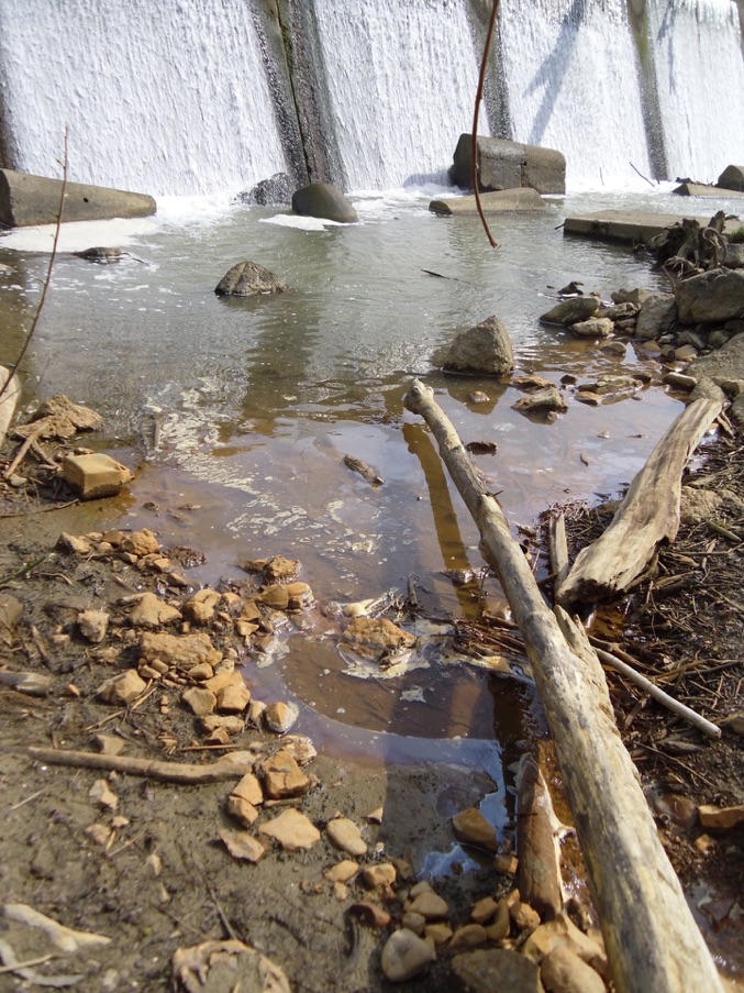
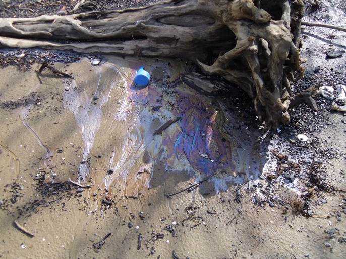
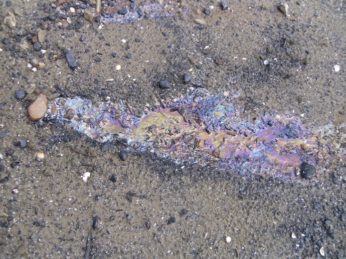
The sand along the margin here and there oozes oil or petroleum which I figured comes from buried oil barrels and spills from the river barge traffic over the years. Billions of gallons of petroleum products have dripped, seeped, spilled and poured from sewers, barges, boats, barrels, cans and tanks over two hundred years along the length of the river.
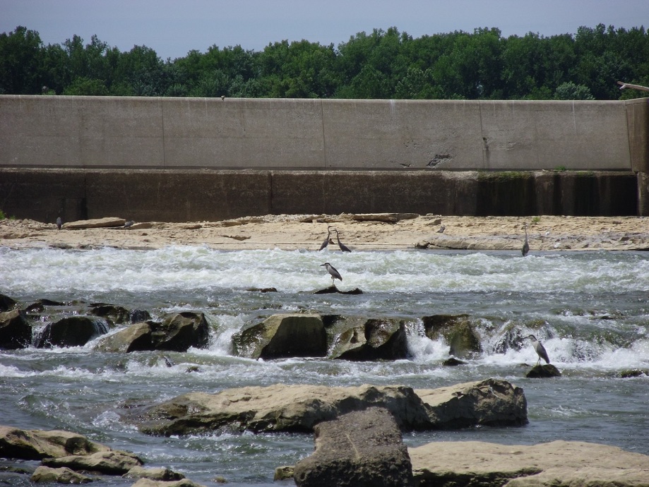
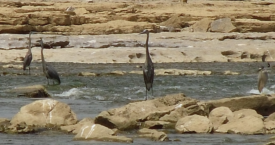
Above, in June 2012 Great Blue Herons and Black Crowned Night Herons gathered below the falls spillways waiting for the right fish to come along.
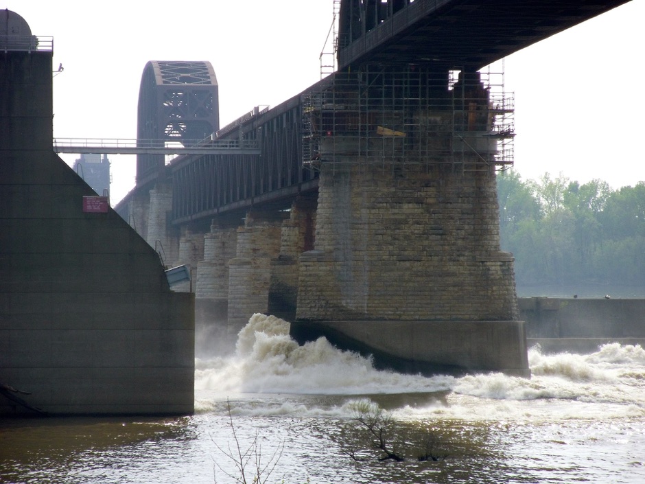
At the eastern edge of the Falls area the tumbled blocks from the dam edge sit below a curtain of flowing water.

Falls of the Ohio

Successive generations have improved the appearance of the grog shops and turtle stew purveyors establishments.




If the European exploration and opening up of the west, in which Lewis and Clark were the vanguard, led to new conquests and new atrocities, how shall we regard them today? See the Filson Club website for more expert historical materials
<http://www.filsonhistorical.org/archive/news_v1n1_lewis.html>
The unpolluted streams and verdant old growth forests were the source of food and shelter for pioneers. They suffered attrition through failed crops, outbreaks of yellow fever, mortal combat with indigenous people, intermittent wars and slavery.
Bronze statuary remains of the fabled journeys of exploration of Lewis and Clark and today their toothy effigies pose against a backdrop of a metropolitan area of more than a million descendants of the European migration they pioneered. The vast unknown western extent is fully populated and most people never sense the excitement of staring into a forest that is unmapped and unknown. The Lewis and Clark expedition was the ultimate ‘buddy trip’ where stalwart males suffer the rigors of uncivilized nature to confront new experiences and strange aliens, in a journey that changes both them and us. Males are always traveling across the globe to kill something new.
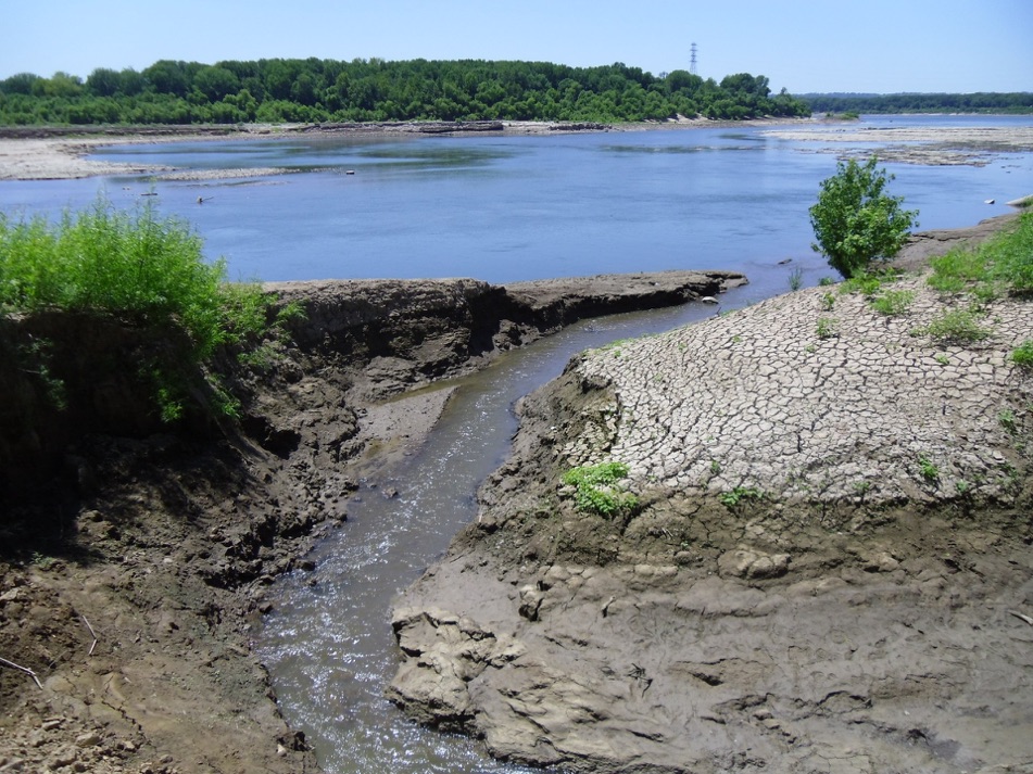

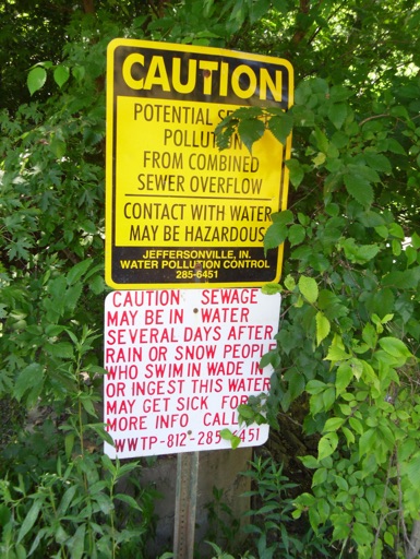
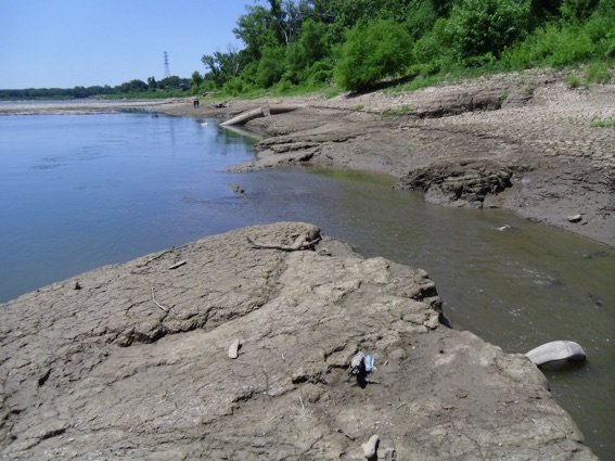
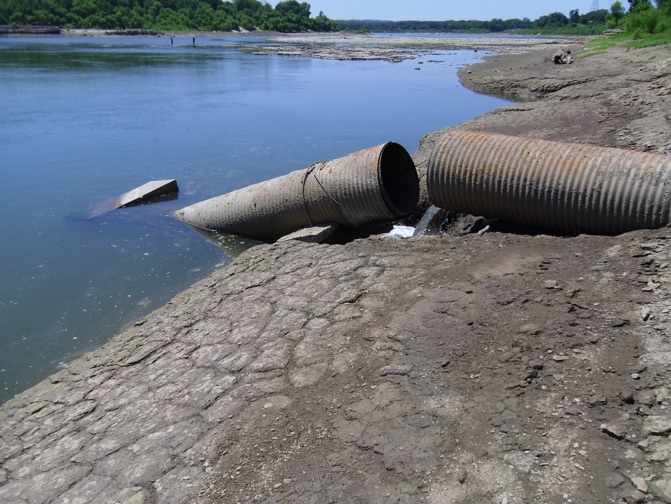

These photos show discharge from the Jeffersonville wastewater treatment plant entering the Ohio River at the western reach of the Falls of the Ohio fossil beds. These shots were taken late June 2012 during a dry week and the Ohio lower pool level had dropped. A main pipe outfall is shown collapsed with the concrete header sunk in the river.
Above, a large flapgate was permanently hooked in an open position and discharges to what appears to be an effluent channel that leads under the flood wall to the river. There was a noticeable smell of sewage to the effluent channel like chlorinated wastewater. The outlet appears to be marked as a CSO. A dry weather discharge from a CSO is a Clean Water Act violation.
We crossed over, walking on the network of driftwood logs that choke the channel, and made our way further west on the fossil beds. The stone is very rich in ancient sea bed forms.
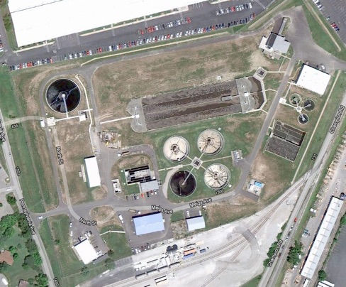
Above: The Jeffersonville wastewater treatment plant.
Below, looking east from the western extent of the fossil beds toward the city. The Falls is a good place to go to get under a big sky and see water birds and fish lurking along the edges.
